


การเปลี่ยนแปลงเปลือกโลกตามทฤษฎี “วัฏจักรของการกัดกร่อน” ของ วิลเลียม มอร์ริส เดวิส หลังจากเปลือกโลกยกตัวขึ้นก็เกิดขบวนการกัดเซาะของน้ำมีพัฒนาการแบ่งเป็น 3 ช่วงอายุคือ
Earth's Crustal Changes According to William Morris Davis' 'Cycle of Erosion' Theory
Following the uplift of the Earth's crust, erosion ensues, characterized by the incision of water. This developmental process is divided into three stages of age:
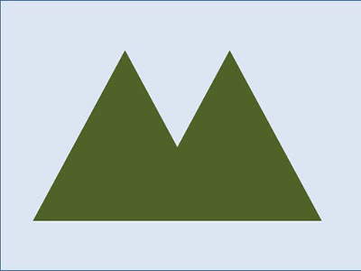
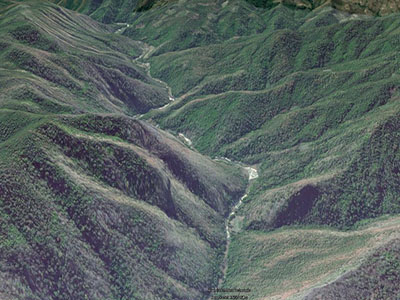
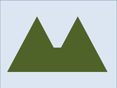
ช่วงอายุน้อย เปลือกโลกที่ยกตัวขึ้นถูกแม่น้ำกัดเซาะเป็นหุบเขาลึก
During the early stages of its age, rivers erode the uplifted Earth's crust, forming deep valleys.
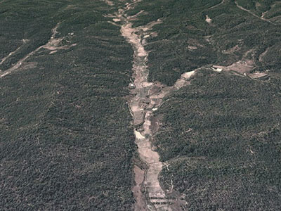
ช่วงเติบโตเต็มที่ หุบเขาถูกกัดเซาะแผ่กว้าง
In the peak growth phase, the valleys have undergone extensive erosion and widening.
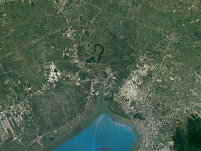
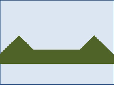
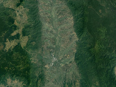
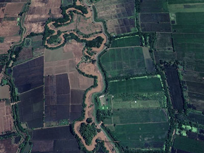
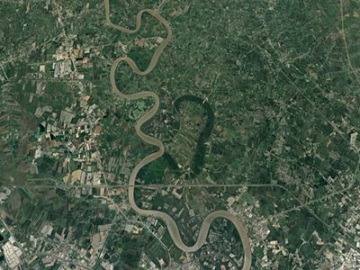
ช่วงอายุมาก หุบเขากลายเป็นที่ราบแผ่กว้าง ด้านล่างเป็นหินเนื้ออ่อน น้ำกัดจะเซาะทางด้านข้าง เกิดทางเดินน้ำลักษณะโค้งตวัด ส่วนที่โค้งมาก เกิดทางน้ำไหลลัดทางเดิน ส่วนที่เหลือเป็นน้ำขังจากโค้งตวัดเกิดเป็นทะเลสาบรูปแอก
In the later stages of its life, the mountain range transforms into a wide, expansive plain. The lower part consists of soft rock, and lateral water erosion carves pathways on the sides. The curved waterway creates shortcuts, connecting bodies of water. The curved water will transform into an oxbow lake.
ตอนปลายของทางน้ำไหลลงสู่ทะเล เกิดการตกตะกอนที่น้ำพัดพามาทับถม เรียกดินดอนสามเหลี่ยมปากแม่น้ำ
At the end of the watercourse, as it flows into the sea, sedimentation occurs where carried sediments settle and accumulate. This triangular-shaped sediment deposit at the river mouth is known as a delta.