
 ภาพประกอบสร้างโดยเทคโนโลยี AI (Visual enhanced by AI technology)
แผนที่เป็นเครื่องมือพื้นฐานที่สำคัญในศาสตร์ภูมิศาสตร์และศาสตร์อื่น ๆ โดยแผนที่ทำหน้าที่ถ่ายทอดปรากฏการณ์เชิงพื้นที่ (spatial information) ให้เข้าใจง่าย การพัฒนาแผนที่ในปัจจุบันไม่ได้จำกัดอยู่เพียงแผนที่กระดาษ แต่ได้ขยายไปสู่แผนที่ดิจิทัลที่สามารถโต้ตอบและวิเคราะห์ข้อมูลได้อย่างมีประสิทธิภาพ
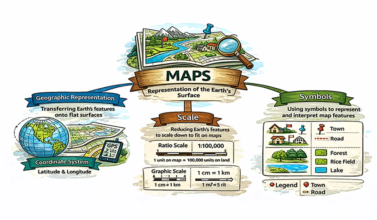
แผนที่แสดงลักษณะของพื้นผิวโลกทั้งหมดหรือบางส่วนบนพื้นราบโดยการย่อส่วนและใช้สัญลักษณ์แทนรายละเอียดต่าง ๆ ดังนั้นสิ่งที่สำคัญในความหมายของแผนที่จึงประกอบด้วย 1) การสื่อสารแสดงลักษณะของพื้นผิวโลกลงบนราบให้เข้าใจง่าย (Geographic Representation) 2) การย่อส่วน (Scale) และ 3) สัญลักษณ์ (Symbols)
Maps are fundamental tools in geography and many other disciplines. They serve as an effective means of communicating spatial information, enabling complex geographic phenomena to be understood more easily. Today, map development is no longer limited to printed maps; it has expanded to include digital maps that support interactive visualization, spatial analysis, and efficient decision-making.
A map is a scaled representation of all or part of the Earth's surface on a flat plane, using symbols to depict geographic features and phenomena. Therefore, the fundamental concept of a map consists of three essential elements: (1) geographic representation—the communication of the Earth's surface in a form that is easy to understand; (2) scale—the reduction of real-world dimensions to a manageable size; and (3) symbols—the graphical representation of geographic features and information.