
3.2 Unknown map scale:
Determine the reference distance on the map and in the known actual distance. For example, the length of the road leading to the office building is approximately 100 meters, compared to a map that measures about 1 centimeter. The estimated scale would be 1 centimeter: 100 meters or 1 centimeter: 100 x 100 centimeters. This means that the map has an approximate scale of 1:10,000.
Record the data position as in the case where the scale of the map is known.
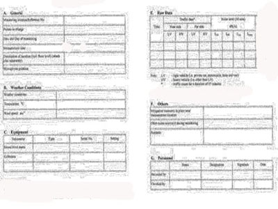
4. Record details of the information according to the prepared recording format.
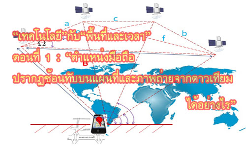
However, in today's modern technology, It is possible to reduce exploration time to create data in the GIS system, but the calculation methods that are stacked in the technology may cause users to not know that the data obtained is too inaccurate to be used.